After trying different approaches and different edit apps, I now simply use snapshots, which I process later on my PC. Two screens: left the survey photographs, right JOSM.
When I try editing while surveying, I hardly get anything done, it’s just too cumbersome on mobile devices.
I use Organic Maps as a general offline mapping app on my phone. It uses OSM data, and has some limited OSM editing functionality built-in. But it also has the option to drop a pin with a description at a given location - known as “bookmarks” in the app. I use this bookmarks features a lot to note things I need to update on OSM. I then process these at a computer when I’m back home.
The problem is that essentially everything that is conceptually “map rendering” based needs to make a selection and/or will do collision avoidance leading to that the element that you are interested may not be displayed at all, or offsetted from its “real” position.
Combined with the lag in getting updated data (less of an issue with OSMand hourly updates, but that still isn’t immediate) this leads to lots of duplicates being added by users of such tools if there is even just a modicum of existing data. This was particularly an issue when maps.me editing was originally enabled, but is still the case today, As the volume is lower there is less complaining, the stuff just gets silently deleted.
There have been attempts at tools that simply display raw OSM data, but if you are downloading the data then you might as well add whatever you want to right then.
Naturally real editors suffer a bit from the “information overflow” issue too, that is why having a non-map display of elements around you helps
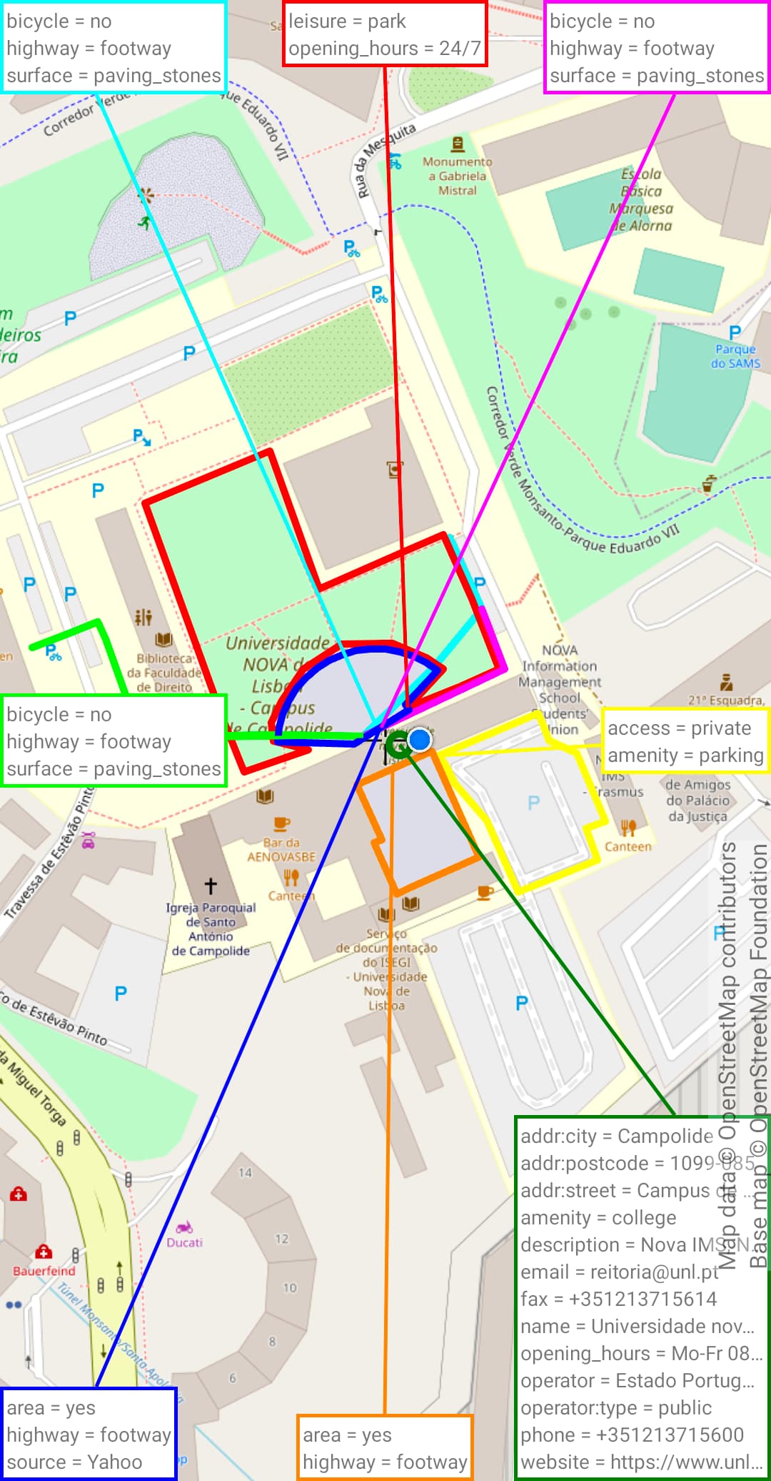
For this reason, I find OSMFocus Reborn (already mentioned above) to be invaluable. Too bad it doesn’t allow zooming past a certain point, nor rotating the map. But it does show everything It’s a bit overwhelming if the area is well mapped, but I believe the ability to zoom in further would greatly alleviate that issue.