I am trying to map a proposed residential development. It consists of five land parcels which I downloaded from the local county’s GIS web site and imported into OSM as place=plot
The parcels are all closed ways, all contiguous, with four “outer” parcels and one “inner” parcel. I then created a boundary relation here:
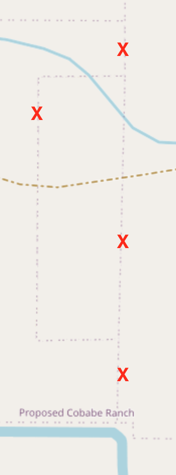
So far so good. My problem: the rendered map shows the outer boundary correctly as a thin dotted line, but the inner boundaries are also drawn. I don’t want the inner boundaries to appear at all. See below for an example. The lines that are marked with a red X are inner boundaries and should not appear.
To do this, the ways of type outer should, when put together, create one continuous way around the edge of the area.
When you created the ways that detail plot borders (e.g. Way: 1387921194 | OpenStreetMap) and put them in a relation, what you’ve essentially created is a relation that consists of 5 separate areas that just happen to have coincident edges - not one area.
So how to fix this? Ditch the relation and just create a new area that combines the five plots? They will always be contiguous, so there’s no real benefit to having a relation if it doesn’t do the job.
I would recommend not mapping place=plot. If they are distinguishable on the ground e.g. through a fence, then map the fence. If they are indistinguishable on the ground (and the boundaries of the individual plots can only be verified by going back to the third party data source) then it makes little sense to have it in OSM.
We could say this same thing about national boundaries… they are indistinguishable on the ground in many places, especially on water But in reality if there is a good source for the data - which there is in this case - the outermost plot boundaries are really useful as they will form the future boundaries of the development.
I agree with @woodpeck, we probably don’t want the plots in OSM. Boundaries between nations, states/provinces, and cities are a special case in OSM (and in many cases they are demarcated on the ground).
However, addressing the broader topic of how to use a relation in a situation like this, please see Relation:multipolygon - OpenStreetMap Wiki. The type of relation is different, but the concepts are similar.
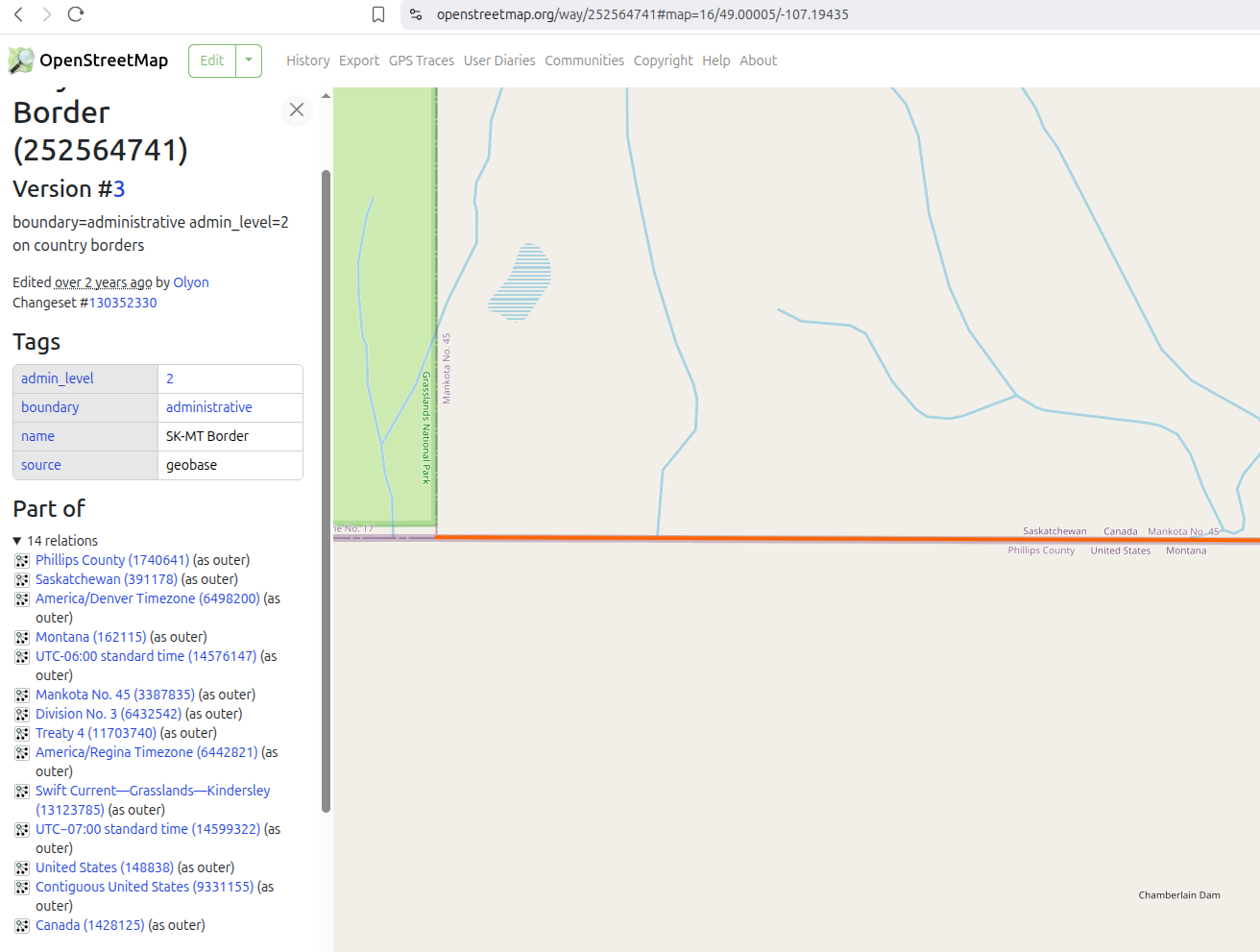
To make a boundary for a higher level political entity we do not simply group together the lower level political entities contained within it into a relation. Take the case of the United States and the State of Montana. The northern boundary of Montana is also part of the boundary between the US and Canada. That would be represented as a “way” in OSM (like a linestring/polyline in GIS) (ignoring counties for now), and that “way” would be contained in both the boundary relation for Montana and the US (and for Canada). Thus, if we got more accurate data as to the location of one of the boundary markers along the US-Canadian border (they are not exactly where the treaty said they should be, and what is on the ground is the law) we could simply make one edit, and that would be reflected in all of the boundary relations that use this “way.” I am leaving out some detail here, but I hope you get the picture. It is a powerful concept. Here is a link to an example: