operator describes the operator of the object the tag is put on. operator added to the route-relation equals who maintains the route, where operator added to the way describes the maintainer of the path/road.
I’m not sure I follow the distinction here. If a relation groups together ways maintained by a given operator, then the relation is defined by the operator. That seems consistent with tagging.
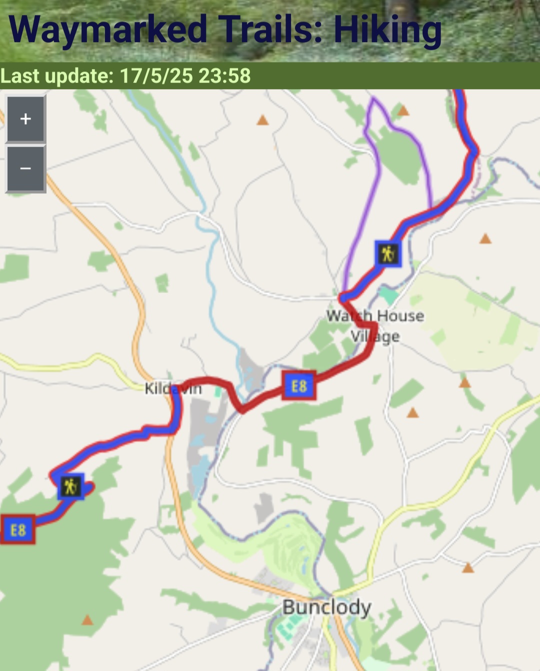
The best split route is useless, if no one is maintaining it anymore.
Fair enough, I think it’s good to have a conversation around this. It’s not my goal to make routes difficult to maintain.
Why do you think “your” split is more useful for OSM than any of the others? And even if undefined stages are more useful for OSM, why “your” stages are better than “mine”. I understand your aim, though the OSM-DB might be the wrong place to realize it without any post-processing.
I’ve given my response to this here: Aligning OSM hiking sections with Wikivoyage - #62 by jpolvto
As well as here: Aligning OSM hiking sections with Wikivoyage - #16 by jpolvto
But to complete your argument:
Why do you think “your” split is more useful for OSM than any of the others?
You’ve partly answered that yourself:
It might be just keep the members below a certain number to make maintenance work of the relation do-able. Which should be our highest priority.
In reality, I think you’ll find this aligns with how users actually perceive trails. The purpose of sections is to make a trail easier to understand and manage mentally. Too many, and it defeats that purpose. You could divide the PCT into 200 stages, but hiking guides don’t, because that would make the trail harder to grasp, not easier.
I think this makes a strong case for aligning sections in a way that reflects how people actually use and understand trails.
It might be helpful to consider a few questions at this point:
- Would you agree that most hiking routes in OSM are already divided into meaningful segments for hikers (such as stages or sections)?
- If so, what do you think is the reason behind this common practice?
- Given that, could we aim for a consistent approach in how we structure and present these segments?
This could help us avoid going in circles or debating points that are already reflected in existing OSM data.