there are some bigger ones, but it would still be not easy to survey (as they tend to be indoors, so no aerial imagery support), and it is definitely a lot of detail, similar maybe to mapping field markings or sth like this:
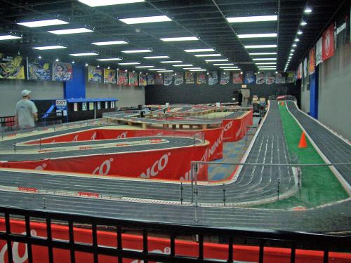
I think I would limit myself to mapping the properties of the installation, like scale (or scale class), number of racing lanes, length of track, access, fee, etc.