Whoa, it looks like USGS publishes LIDAR and 3D elevation models for this area, too, which should all be public domain?
All 3DEP products are available, free of charge and without use restrictions.
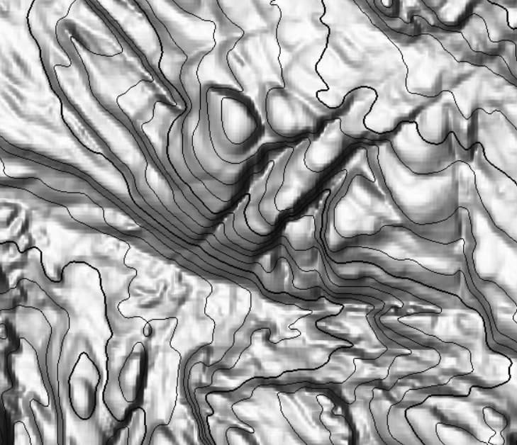
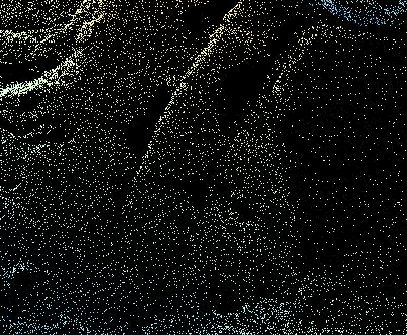
I imagine cliffs could be automatically extracted from this? And tracing it would be more accurate than tracing satellite images which are often skewed due to the viewing angle?