You can only see it if you have directly selected it or if you have the total map data layer turned on and like that you can only see it as a simple line, not a pipeline render (thick line with little doubled lines crossing it perpendicularly representing connections between pipes)
Otherwise it’s not visible, it’s like the industrial area is covering it up.
I’m still very new to osm, using the iD editor. I realized the same happens when you have an area withing an area. Maybe a storage tank area within an industrial area, if you just put it there without doing anything special, its area wont be rendered, it’s going to be covered in the color of the industrial area (storage tank symbol might still show up). I’m going around that by first creating a hole in the industrial area and filling it with another area that I tag storage tank or whatever. But something like a cooling tower or factory is always rendered above the industrial area if you just put it there, I guess there’s some hierarchy.
So how can I do it for a line feature? Just creating a hole doesn’t work cause when I close it around the line, it’ll render again as uninterrupted industrial area.
Edit: Maybe I should tag such a pipeline as layer 1? I’m reading the wiki on layers right now. I also realize that my method of creating holes to fill with areas like storage tanks isn’t a good thing cause there’s now holes in the larger enclosing area …
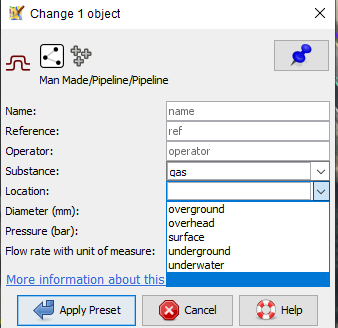
Aside from which map maker renders what with prominance I’ll leave alone, but I’m missing an actual location tag on your pipeline like overground, overhead, the list shown in the preset view of JOSM
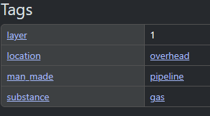
That said, always look at the first one I’ve mapped as for remembering the researched tags and this pipe sure looks like showing in Carto Standard with these tags
No, you don’t need to / should not do not that. “Landcovers” like landuse etc. are rendered “early” and buildings, tanks etc. are rendered in subsequent layers. This mostly works, although you will always find cases where the chosen ordering of layers leads to oddities.
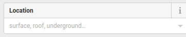
As pointed out above, pipelines are unusual in that you must set a location tag. Pipelines are assumed to be underground by default (i.e. not rendered). On the standard map, the pipeline will be shown if location is one of overground, overhead, surface or (oddly) outdoor.
The decision, which items are rendered on the OSM standard map named carto and wich items are not is done by the discretion of the renderer. Pipelines are not rendered if they do not have a location (as already said above). Storage tanks and silos are only rendered as a small icon and not with their outline. Some objects like natural=earthbank are not renered at all in carto. Other maps render other objects - each map provider decides what to render and what not.
Thanks, now I get it, it’s super easy and I see first results as the rendering is slowly updating.
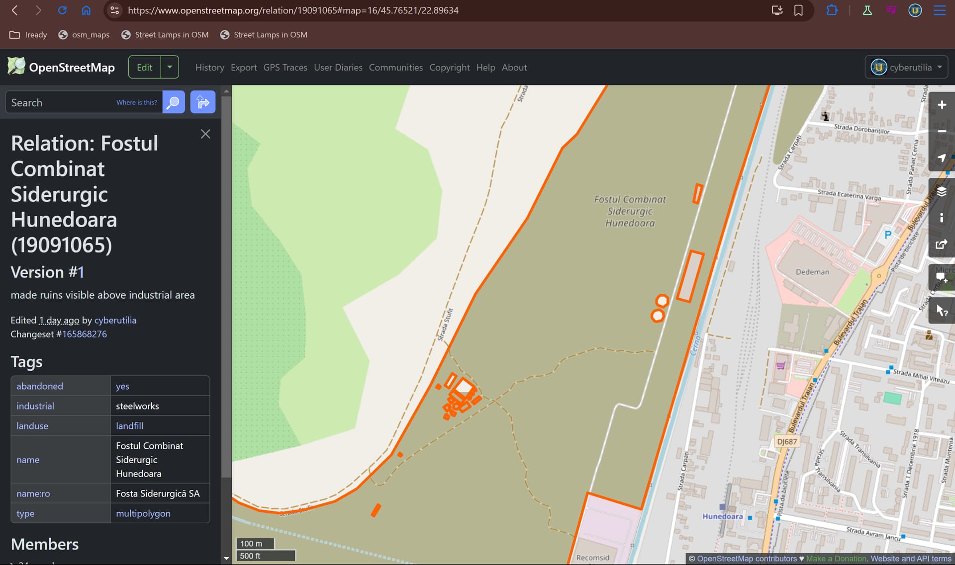
I’ve been adding a lot of pipelines, storage tanks, bunkers and ruins to industrial areas and apparently all of these features are assumed to be underground if not tagged otherwise. And it makes sense to not render underground stuff except maybe an icon like for bunkers and storage tanks. I’m going back updating the stuff I added, cause creating holes into enclosing landuse areas makes that area consist of a mess of lines within it instead of one clean outline. Of course I’m not going to use the tags to now make everything render above ground, what is above ground goes there, what is below goes below. It makes so much sense to render just a storage tank icon if it’s underground and if you really want you could still look up the shape below the ground.
And if I didn’t tag the feature with location= (not underground), now it’s still underground as bunkers, storage tanks, ruins seem to be assumed below the ground if not tagged otherwise. And instead the hole I created above them allows the next bigger enclosing area to shine through, in this case the grey neighborhood from the left.
Of course not everything should be rendered above ground, it’s good that a bunker or storage tank underground is just shown as icon, if you wanted to look up their shapes you can still do it.
Yes the map feels alright now and it was much easier to add those storage tanks in this way than the first time when I did it with all the cutouts. Now this former industrial area is just one clean outline on OSM, it made zero sense to cut out all these small ruins that even served for the same purpose as the area around.
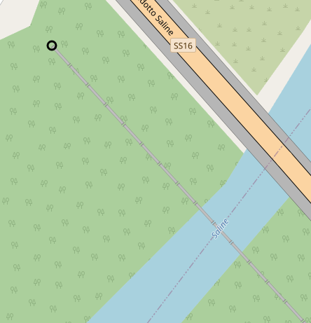
Oh and I’ll go fix that pipeline that I linked as example in my first post, it’s easy, just add “location=overground” in that case.