I am continuing to find a significant number of issues with the “import” data (btw, I am putting “import” in quotes because since this is going to be done manually it may not be an import per se, nevertheless it is a convenient way to refer to this source). While one could argue that these irregularities will not make it into OSM because this is going to be a manual process, I am concerned that same level of care will be applied to the OSM edits as has apparently been applied to the “import” data.
Here are just a few of many examples:
This is a extreemly short spur trail or “overshoot” near 40.7169161, -111.5566316 It is only 0.21 feet long:
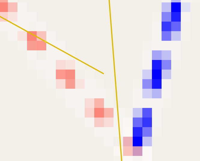
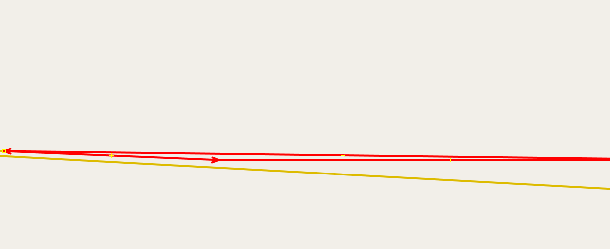
Another “spur” trail, this one near 40.7170697, -111.5566159 and oddly also 0.21 feet long. It is also a oneway trail whose start isn’t connected to anything.
Duplicate geometry near 40.7097302, -111.5040225 The two trails are 0.04 feet apart.
More duplicate geometry, this one near 40.7097902, -111.5040471
Disconnected trails near 40.7148194, -111.4999011
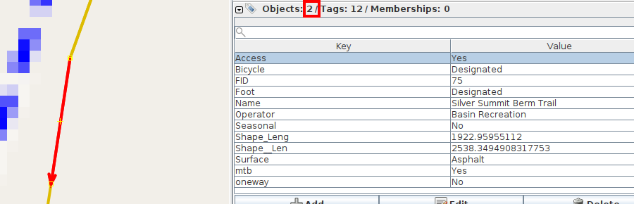
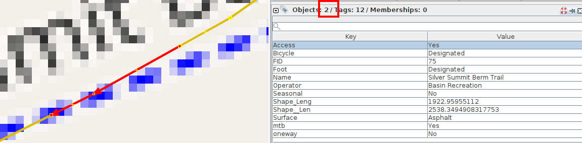
Exact duplicate geometry (two ways/polylines right on top of each other) near 40.7139358, -111.4914039 In the feature service it is a multipolyline whose parts overlap each other:
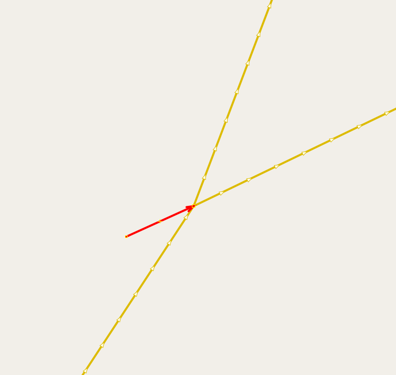
A way/polyline that nearly doubles back on itself near 40.7178942, -111.5496172 (distance beween two segments is 0.04 feet):
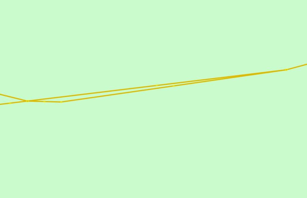
More exact duplicate geometry, this near 40.71536, -111.4898086 In the feature service it is a multipolyline whose parts overlap each other:
Random little spur trail that is only 0.22 feet long near 40.7112032, -111.5022851

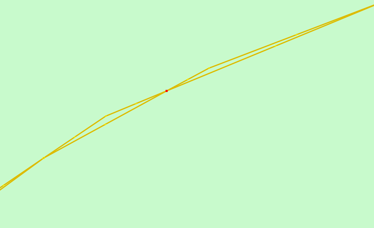
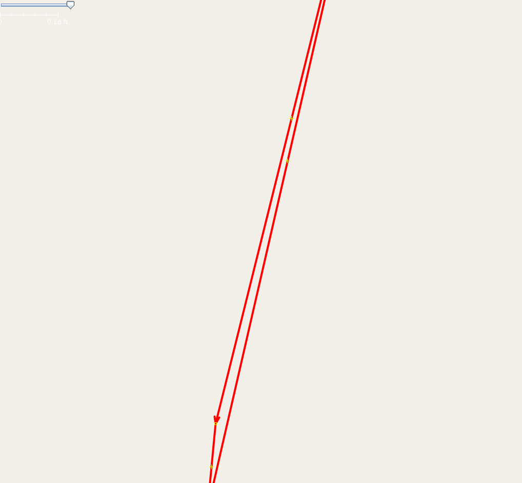
Another case where trail nearly doubles back on itself, this one near 40.7675393, -111.576593 The two segments are only 0.15 feet apart - unlikely to be valid:
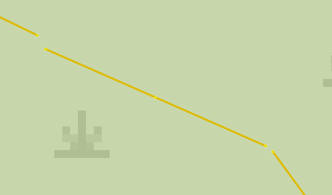
Another example of disconnected trails, this one near 40.7239792, -111.5571956 (there are about 160 such cases in the data)