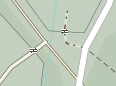
I see no problem with this. These will also be rendered accordingly. See Way: 315219370 | OpenStreetMap
You are correct, but this map style is now the ubiquitous “standard” on osm.org
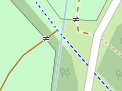
But you can compare many other map styles and you will notice the same effect. A waterway that visually crosses a path/street unobstructed, looks like a level connection of both paths, no matter what map style.

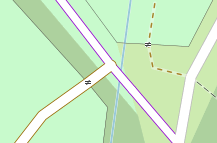
It seems not be a problem with tunnel=flooded. Here is one which renders correctly as dashed line: Way: Bachüberleitung Fasulbach und Rosanna (1183699176) | OpenStreetMap
Or this one: Way: Hochkopfstollen, part of Rißbachstollen (343939314) | OpenStreetMap
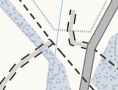
I only guess that it’s because of waterway=canal instead of waterway=stream.